Investigation & Evidence
Seeing Disaster From Orbit: What Satellite Images Reveal and Miss
Earth observation is powerful because it compares measured surfaces through time. It cannot identify every cause or person on the ground, and its conclusions require sensor knowledge and local verification.
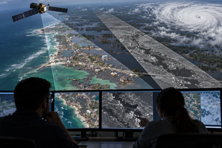
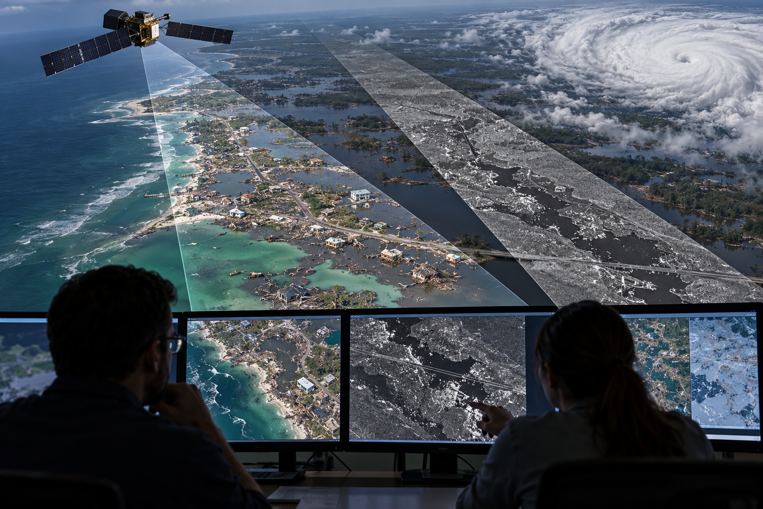
After a flood, wildfire or earthquake, satellite imagery can make a vast affected region visible in one frame. Analysts compare observations from before and after the event, map water or burn extent, identify blocked routes and direct field teams toward places likely to need help.
“A satellite image” is not one kind of evidence. Optical instruments record reflected light and can be blocked by cloud or smoke. Thermal sensors measure emitted energy. Synthetic-aperture radar sends microwave pulses and can observe through cloud and darkness, but its speckled geometry requires specialist interpretation.
Every system trades spatial detail, area, wavelength and revisit frequency. A sharp commercial image may arrive too late; a frequently updated weather sensor may show only broad patterns. Processing choices, colour composites and thresholds can make change more legible while also hiding uncertainty.
Images document surfaces at acquisition time. They may show that roofs disappeared or water advanced, but not automatically whether a particular person survived, why a structure failed or what happened between passes. Ground reports and later surveys remain essential.
The method extends the archive’s approach to anomalous signals, the search-area problem in missing-person investigations, and image interpretation in the Face on Mars.
Claim, Context and Cautions
Pixels are measurements, not photographs
A pixel summarises energy from an area on the ground in selected wavelength bands. Its colour may be natural-looking or assigned to expose vegetation, moisture or heat. Analysts need the sensor, acquisition time, projection and processing history before comparing values.
A screenshot without metadata can preserve a striking pattern while losing the information needed to reproduce it.
Change detection and baselines
Post-event imagery becomes most useful when aligned with a reliable earlier observation. Seasonal vegetation, tide, snow, shadows and construction can mimic disaster change. Registration errors can shift edges and make intact buildings appear damaged.
Multiple dates and sensors reduce ambiguity. Automated classifications accelerate triage, but labelled training data and human review remain necessary during a new event.
Cloud, latency and access
Clouds obscure optical imagery precisely when storms are active. Radar can help, although steep terrain and buildings create shadows and bright returns of their own. A satellite's orbit determines when it can return, and receiving, processing and licensing data add delay.
Emergency systems coordinate requests so imagery is acquired for the right place and delivered in formats responders can use.
Responsible conclusions
Satellite evidence is strongest for extent and change: how far water spread, where vegetation burned, or which transport corridor was cut. It is weaker for fine causal stories unless combined with engineering, weather and eyewitness records.
Publishing a map should preserve confidence levels and acquisition dates. Orbit changes perspective, not the rules of evidence: a remote view can reveal patterns invisible on the ground while still requiring verification at human scale. Interpretation also changes with the question. A sensor useful for regional flood extent may be unsuitable for identifying damage to one roof. Analysts should state the smallest reliable feature, how quickly the product was delivered and whether the classification was checked against independent observations. Those details prevent a colourful image from claiming more precision than its pixels contain. Public release should retain the original product and legend so later investigators can audit the reading.
Contextual glossary
Terms used in this entry
Definitions are offered as reading aids, not as conclusions about the case.
- Remote sensing
- Collecting information about a place or object from a distance, commonly by satellite, aircraft, radar or sonar. Interpretation depends on sensor resolution, wavelength, viewing conditions and processing.
- Satellite imagery
- Images or measurements of Earth collected by instruments on satellites. Resolution, revisit time, cloud, viewing angle and processing limit what a scene can establish.
- Search area
- The geographic region selected for a search from the last reliable position, likely movement, terrain and available time. It is a planning model, not proof that the missing subject entered every part of it.
- Metadata
- Information stored about a record, such as its creation time, device, location, format or editing history. Metadata can support provenance but may be missing, altered or copied incorrectly.
- Wavelength
- The distance between repeating points in a wave. Different wavelengths of light, radio or sound interact differently with matter and determine what a sensor can detect or resolve.
Reference trail
Sources
- NASA Technical Reports Server, Earth Observation Data for Disaster Applications (opens in a new tab)NASA technical overview of optical, radar and other Earth-observation data used in disasters.
- USGS, Emergency Operations activation process (opens in a new tab)Official procedure for requesting satellite remote sensing under the International Charter.
- USGS, Natural Hazards Response (opens in a new tab)Government summary of rapid imagery access and geospatial datasets for response and recovery.
Case Book
Photographs, Maps and Supporting Images
Supporting images provide documentary, geographic or visual context. Read each caption for its date, source and evidential limits.

Continue researching
Follow the evidence, context and comparisons
Curated connections
Selected editorially for this entry.
A source-led guide to anomalous signals, from underwater sounds to radio bursts: how calibration, reference libraries and independent repetition separate useful evidence from compelling noise.
Curated connection · ArticleSearch Without a Story: How Missing-Person Investigations Manage UncertaintyA practical guide to search theory: how planners separate likely location from detectability, update search areas and avoid turning an unsuccessful search into proof of an extraordinary disappearance.
Curated connection · Case fileThe Face on Mars: Pareidolia in a Planetary ArchiveThe Face on Mars became a classic anomaly because one low-resolution Viking image looked uncannily human until better imaging restored it to geology.